
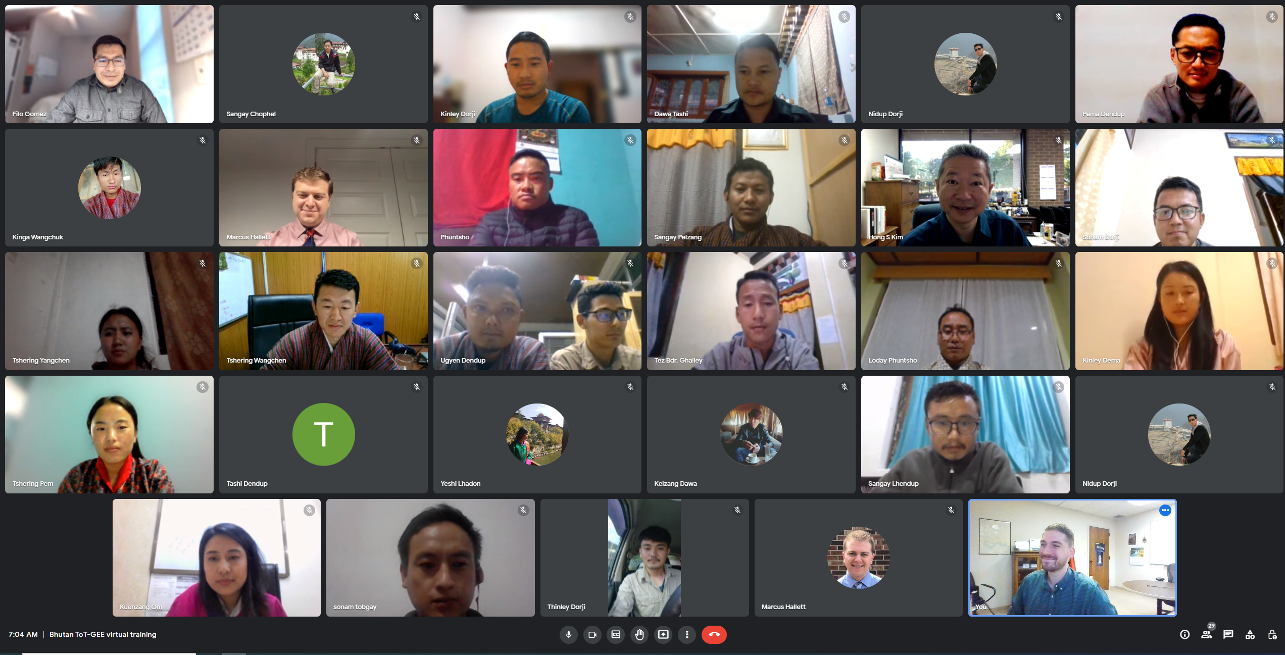
Training on remote sensing and machine learning by NASA SERVIR.
.PNG)

A
two-day virtual training on remote sensing with focus on Rice Extent Mapping
and Google Earth Engine was conducted on 26th and 27th of
September, 2022. The training was conducted by NASA SERVIR as part of capacity
building in Advancing Science, Technology, Engineering, and Math in Bhutan
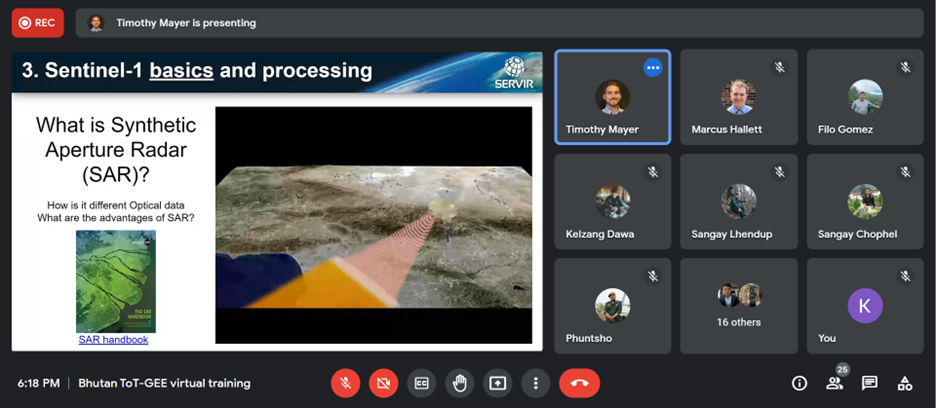
through Earth Observation and analysis capacity building. Tim Mayer, Regional
Science and Coordination Lead for NASA SERVIR, Hindu Kush Himalaya, was the
resource person for the training. The training was attended by focal persons of
technical working group for PEERs project, Ugyen Wangchuck Institute for
Conservation and Environment Research (UWICER), Department of Agriculture (DoA)
and National Plant Protection Center (NPPC), Bhutan.
The
training was conducted with the objective to Build trainers’ geospatial
capacity to use Earth observations, to explore Vegetation indices and Tasseled
Cap transformation using Landsat and Sentinel-2 products. The training is
expected to enhance participant’s knowledge and skills in using Google Earth
Engine (GEE) to explore and utilize co-developed SERVIRE products. The
co-developed products (Rice Extent mapping) using Earth Observation (EO) is
expected to aid in decision support in sustainable utilization and development
of land resources in Bhutan. The ongoing service development is collaborative
project between SERVIR, DoA, NPPC and UWICER.