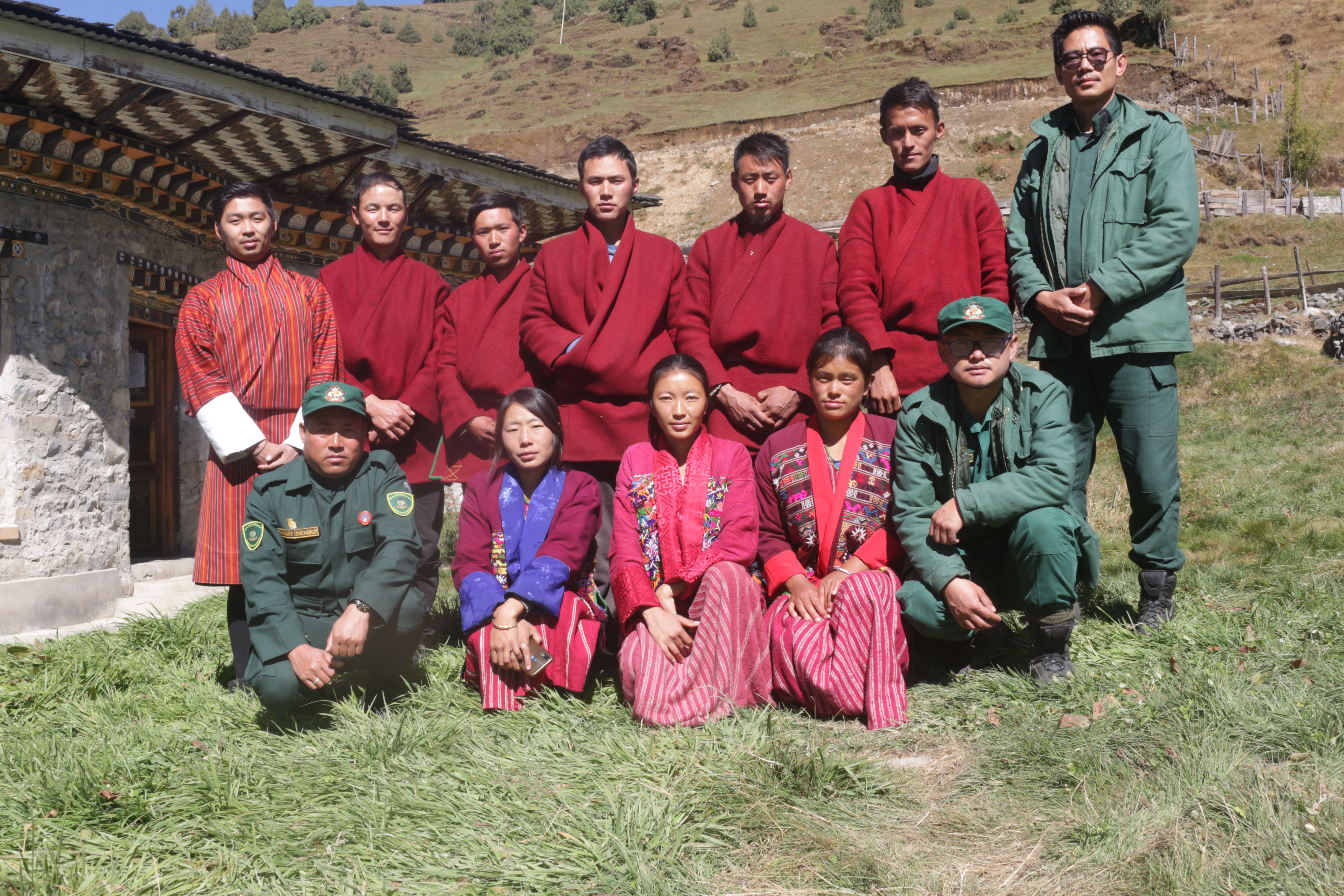
Basic training on GPS and SW maps for the youths of Sakteng.
A
five-day training on basic GPS and SW Maps was conducted for the youths of Sakteng
Geog from 26th to 31st of October, 2022 in the Sakteng Park Range
office.
The
training is a component under ‘Partnership for Enhanced Engagement in
Research (PEER)’ project on Impact of climate change on alpine
timberline and socio-economic impact on highlanders in Bhutan funded
by USAID. One of the key objectives of the project is to conduct capacity development
training for the Bhutanese researchers and the citizens building expertise on
their data collection skills.
A
total of 8 youths (5 boys and 3 girls) participated in the training program
hosted by Ugyen Wangchuck Institute for Conservation and Environment Research
with the assistance from the field officials from Sakten Wildlife Sanctuary.
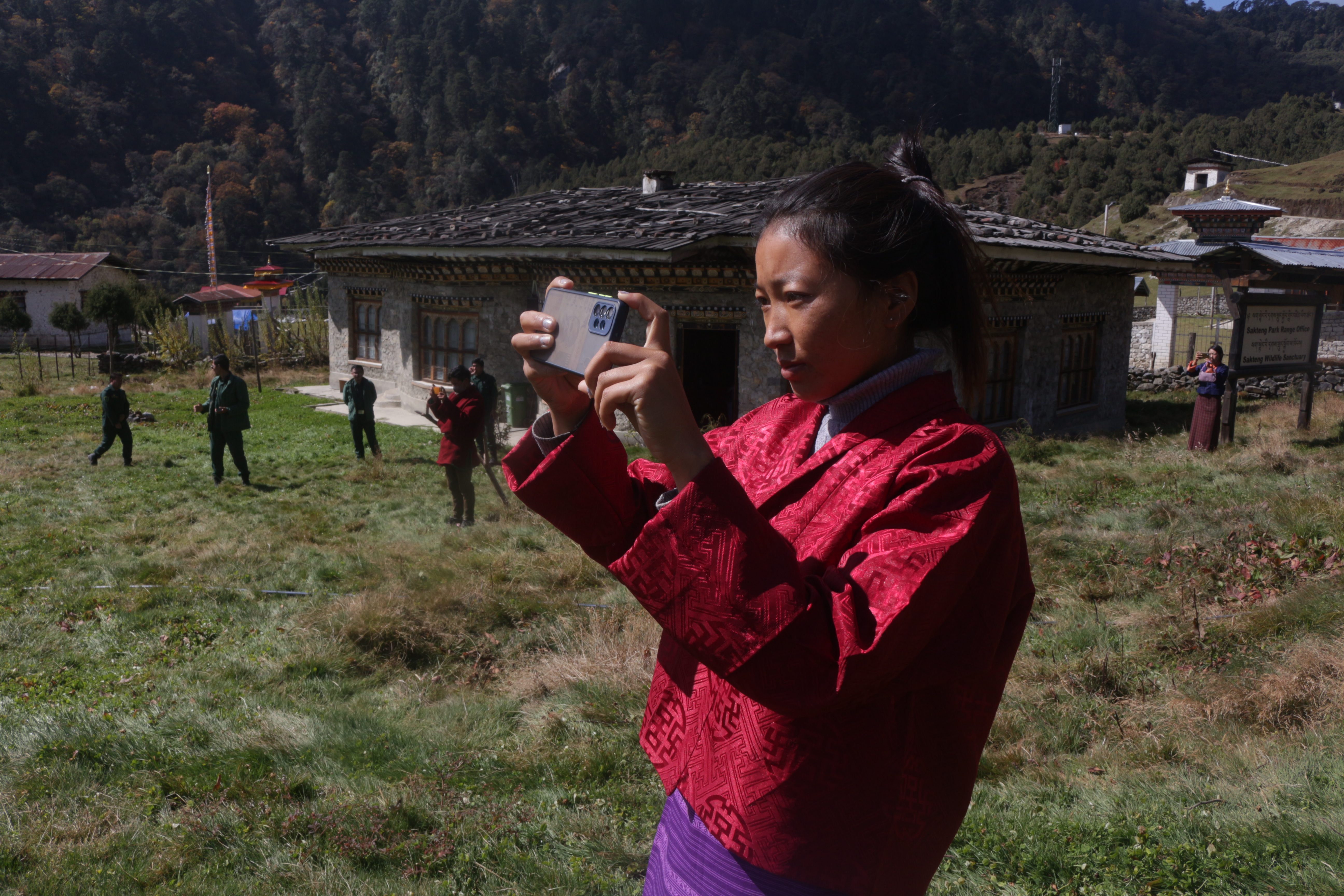
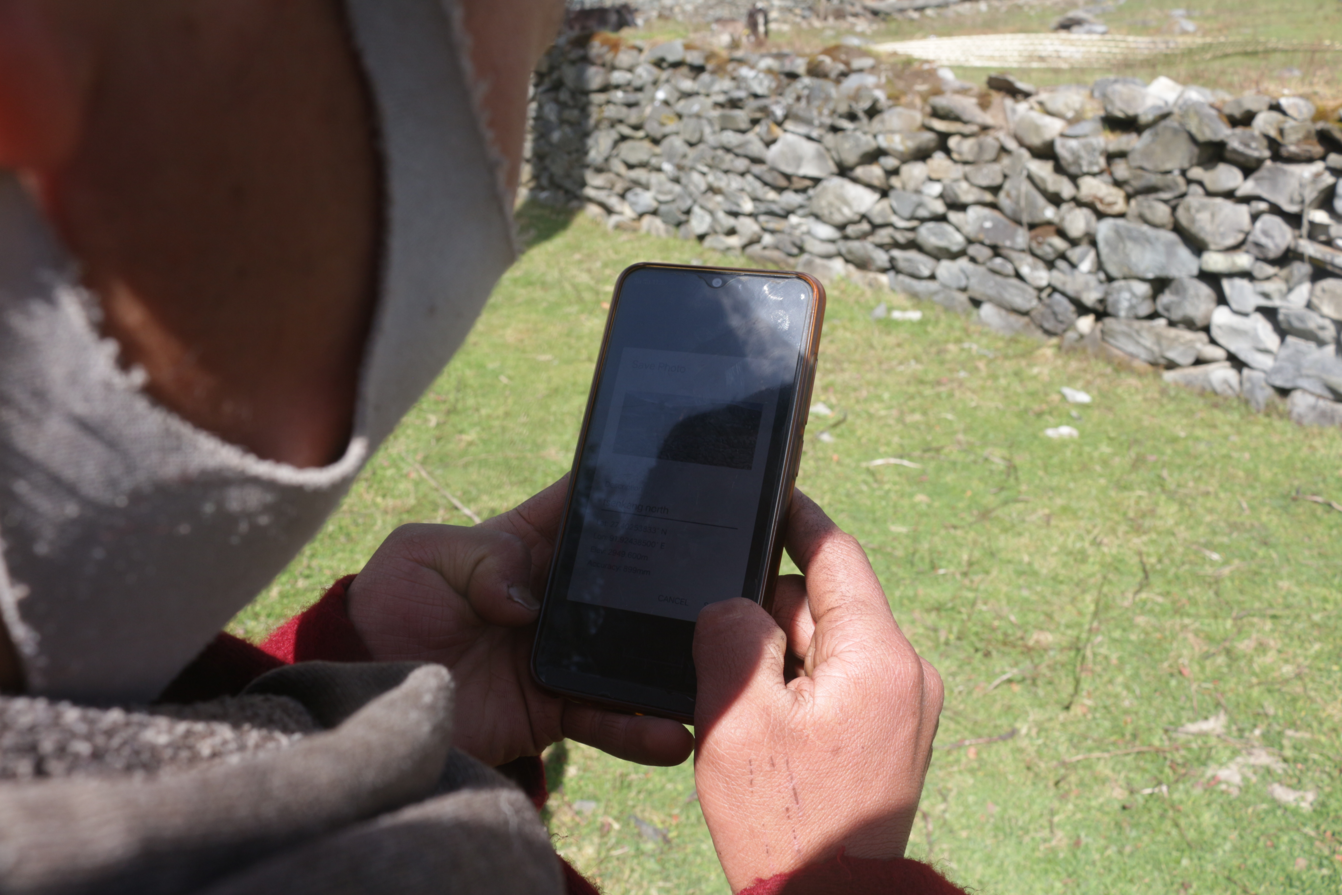
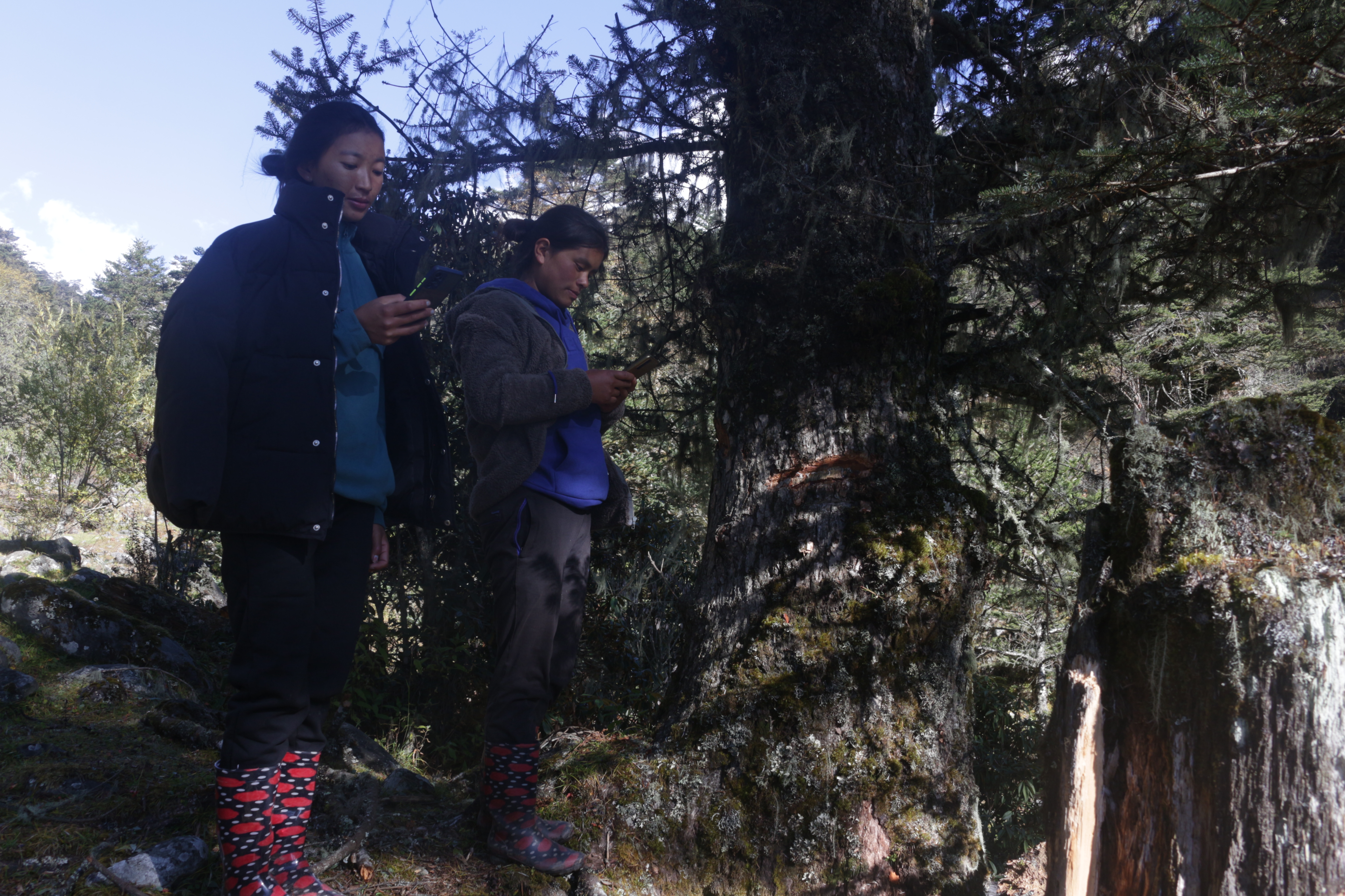
The youths were trained on using SW map to track and record treeline dynamics
along the periphery of pasture land. The participants were also provided hands-on
skill to locate and identify types of treeline with the help of pictorial
guidelines.
The
knowledge and skills gained during the training is expected to enhance their
understanding on climate change-treeline dynamics in the alpine landscape and
facilitate adaptive herding practices. Also, as post-training activity, youth
is expected to map and contribute to treeline database over the next few
months.
A
total of 20 youths have been trained from the highland communities under the purview
of Sakteng Wildlife Sanctuary and are already undertaking post training data
collection activities.
The
data collection is expected to conclude on 26th November, 2022 for
the participants of Merak and 30th November, 2022 for the
participants of Sakteng.