
QGIS training of field foresters at UWIFoRT underway…
News | Posted on 2024-03-04
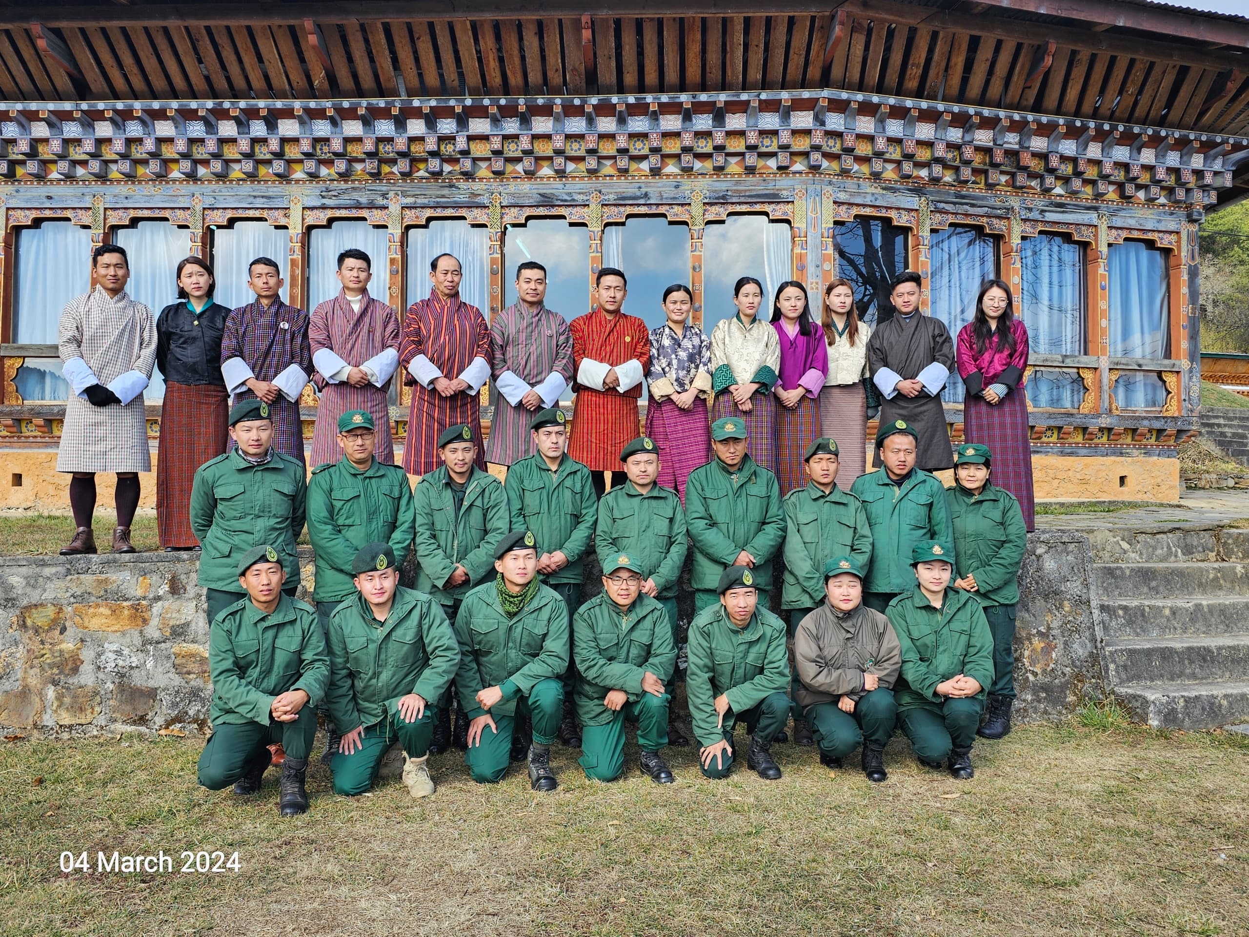
The Geographic Information System (QGIS) training is being conducted from today and will continue to the 8th of March at the Institute. The training focuses on setting up, installation of QGIS, exploring spatial analysis tools and its application in the field of forestry. The program comprises both theoretical classroom sessions and hands on practical field exercises to enhance participants’ learning. The participants consist of personnel from Division Forest Offices and Protected Areas under the ambit of the Department of Forests & Park Services (DoFPS).
Event Details (highlights or agenda): Objectives and Key Messages
GIS training is being conducted to fulfil following objectives:
- Enhance capacity building of foresters and keep them abreast on new art of technologies to improve public services in the field.
- To educate forester officials on the set up and exploration of spatial analysis tools and its uses/application in the field. .
- It is also to train individuals in using QGIS along with other software/apps like SW map, google earth & SDSS to provide efficient and timely forestry services in the field. .
The training is being funded by Bhutan for Life and attended by 26 participants (17 male and 9 female)